

Country's codes
International phone code for Akrotiri: +357
Postal codes in Cyprus
4640 (Akrotiri)
7502 (Dhekelia)
UK postcode
BFPO 57 / BF1 2AT (Akrotiri)
BFPO 58 / BF1 2AU (Dhekelia)
Online Travel Visa Check.
Useful country information
Area:
• Total |
254 km2 (98 sq mi) |
|---|---|
• Akrotiri |
123 km2 (47 sq mi) |
• Dhekelia |
131 km2 (51 sq mi) |
Population (2021 est.):18,195
Capital City: Episkopi Cantonment
Monetary unit: Euro
Languages: Greek, English

Akrotiri and Dhekelia is a British Overseas Territory on the island of Cyprus. The areas, which include British military bases and installations that were formerly part of the Crown colony of Cyprus, were retained by the British under the 1960 treaty of independence signed by the United Kingdom, Greece, Turkey and representatives from the Greek and Turkish Cypriot communities.
The Sovereign Base of Akrotiri and Dhekelia were created in 1960 by the London and Zürich Agreements, when Cyprus achieved independence from the British Empire, as recorded by the United Nations in 1960 as treaty 5476.[5] The United Kingdom desired to retain sovereignty over these areas, as this guaranteed the use of UK military bases on Cyprus, including RAF Akrotiri, and a garrison of the British Army.
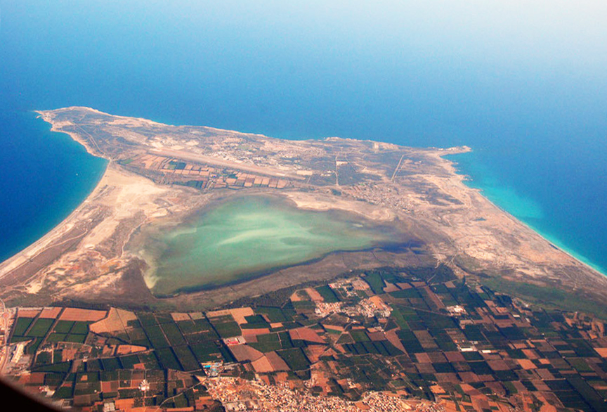
From wikipedia.org
Country Map

COUNTRY MAP WITH STATES/PROVINCES BOUNDARIES CLICK HERE

Source of Information:


