

Country's codes
International phone code for Nicaragua: +505
3 letters: NIC
2 letters (internet domain): .NI
Digital country code 558
Standard EAN-13 (country barcode): 873
 Olympic country code: NCA

Nicaragua Travel Guide: Top Attractions & Best Time to Visit
Nicaragua blends colorful colonial cities, smoking volcanoes, freshwater islands, Pacific surf, and Caribbean calm. Here’s how to experience the highlights—plus when to go for sunshine, surf, or festivals.
Top Attractions in Nicaragua
Granada & Las Isletas
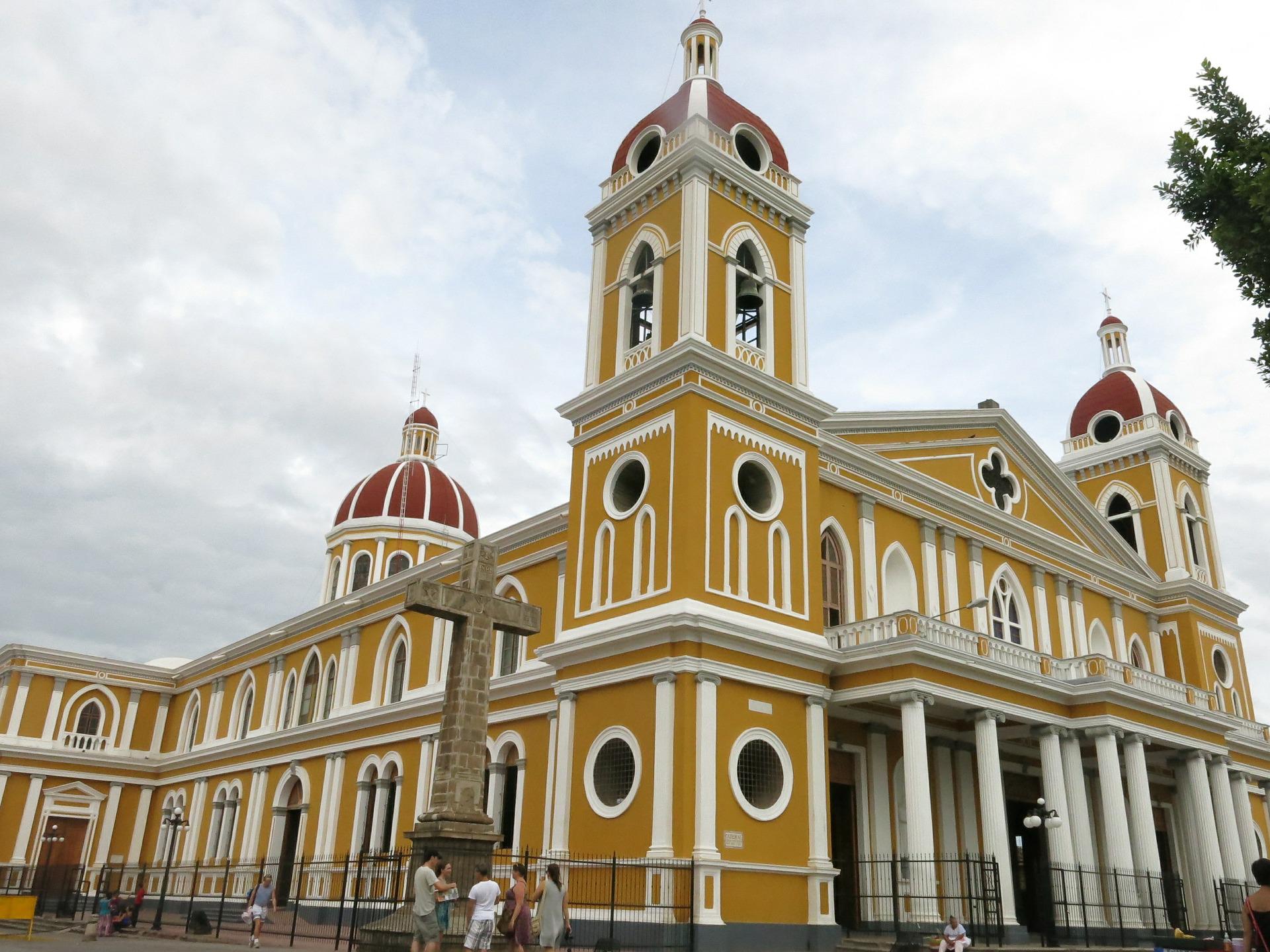
Nicaragua’s most photogenic colonial city pairs pastel facades and church towers with lake breezes. Take a boat trip through Las Isletas—hundreds of tiny isles on Lake Nicaragua formed by ancient eruptions.
León & Cerro Negro Volcano Boarding
Revolutionary murals, a UNESCO‑listed cathedral, and a vibrant student vibe define León. Nearby Cerro Negro invites thrill‑seekers to sand‑board its striking black slopes.
Masaya Volcano (Parque Nacional Volcán Masaya)
Peer into a glowing lava lake at one of the world’s most accessible active volcanoes. Evening visits showcase dramatic incandescent vents on clear nights.
Ometepe Island (Lake Nicaragua)
Twin volcanoes Concepción and Maderas rise from freshwater, creating a unique biosphere. Explore waterfalls, petroglyphs, coffee farms, and black‑sand beaches by scooter or bicycle.
San Juan del Sur & Pacific Surf Beaches
Lively crescent bay with sunset viewpoints and easy access to consistent surf breaks (Playa Maderas, Playa Remanso). Beach towns north and south offer mellow stays, yoga, and seafood shacks.
Corn Islands (Caribbean)
Fly to Big Corn and Little Corn for palm‑fringed shores, snorkeling, and a laid‑back Creole rhythm. Little Corn is car‑free: arrive, unplug, and wander sandy paths between coves.
Laguna de Apoyo Nature Reserve
A sapphire crater lake ideal for kayaking, paddleboarding, and day‑to‑night dips. Eco‑lodges line the shore with decks, hammocks, and bird‑filled forest trails.
Matagalpa & Jinotega Highlands
Coffee country with cooler air, cloud forests, and waterfalls. Tour fincas, sample single‑origin beans, and hike reserves like Selva Negra for orchids and birdlife.
Río San Juan & Indio Maíz
Journey down a historic jungle river to wildlife‑rich reserves. Expect howler monkeys, toucans, and remote river towns. Best for nature lovers seeking off‑the‑grid experiences.
Best Time to Visit Nicaragua
Nicaragua has a tropical climate with a distinct dry season (Nov–Apr) and a rainy/green season (May–Oct). The Pacific and interior generally follow this pattern; the Caribbean can be wetter year‑round with a drier window early in the year.
Dry Season (November–April)
- Why go: Sunny skies, lower humidity, best for city walks, volcano hikes, Ometepe outings.
- Ideal for: Granada/León sightseeing, Masaya night visits, Corn Islands (Feb–Apr often calmest).
- Watch for: Higher demand during holidays; book popular stays/tours ahead.
Green Season (May–October)
- Why go: Lush landscapes, fewer crowds, surf powered by southern swells.
- Ideal for: Pacific surfing (San Juan del Sur area), coffee‑country hikes between showers.
- Consider: Afternoon downpours are common; plan active tours in the morning and carry a light rain shell.
Shoulder Months
- Nov–Dec: Freshly green from rains but turning dry—great balance for volcanoes and cities.
- Mar–Apr: Dry and hot—excellent for beaches and islands; hydrate and seek shade midday.
Practical Planning Tips
Getting Around
Base in Granada or León and add day trips (Masaya, Apoyo, Mombacho). For Ometepe, ferries depart San Jorge. Domestic flights connect Managua with the Corn Islands; boats serve Río San Juan.
Adventure & Safety
Volcano hikes and boarding are weather‑dependent; respect closures. Hire licensed guides for summit treks and follow gear recommendations (helmets, goggles, gloves).
What to Pack
Lightweight breathable layers, sun hat, reef‑safe sunscreen, insect repellent, sturdy shoes or sandals, a compact first‑aid kit, and a reusable water bottle. Add a light jacket for highland evenings.
Culture & Etiquette
Dress modestly in towns and at churches. Learn a few Spanish phrases; greet with a friendly “¡Buenas!”. Support small community‑run tours and artisan markets.
Suggested Itineraries
5–7 Days – Colonial & Craters
- Days 1–2: Granada (city walk, Las Isletas boat tour)
- Day 3: Masaya Volcano night visit + artisan market
- Day 4: Laguna de Apoyo (kayak & relax)
- Days 5–6: León (cathedral, murals) + Cerro Negro boarding
- Day 7: Beach day at Las Peñitas or return to Managua
8–10 Days – Volcanoes & Ometepe
- Days 1–2: Granada & Mombacho cloud forest trails
- Days 3–5: Ometepe Island (waterfalls, petroglyphs, beach time)
- Days 6–7: San Juan del Sur (surf/yoga/sunset viewpoints)
- Days 8–10: León base + day trips (Cerro Negro, Juan Venado Reserve)
12–14 Days – Pacific to Caribbean
- Granada → Apoyo → Masaya → Ometepe
- San Juan del Sur surf beaches
- Fly to Corn Islands (snorkel, relax)
- Optional add‑on: Río San Juan wilderness loop
Useful country information
Total area: 49,998 sq mi (129,494 sq km)
Population (2022 est.): 6.702 million
Capital and largest city (2022 est.): Managua, 1,073,000
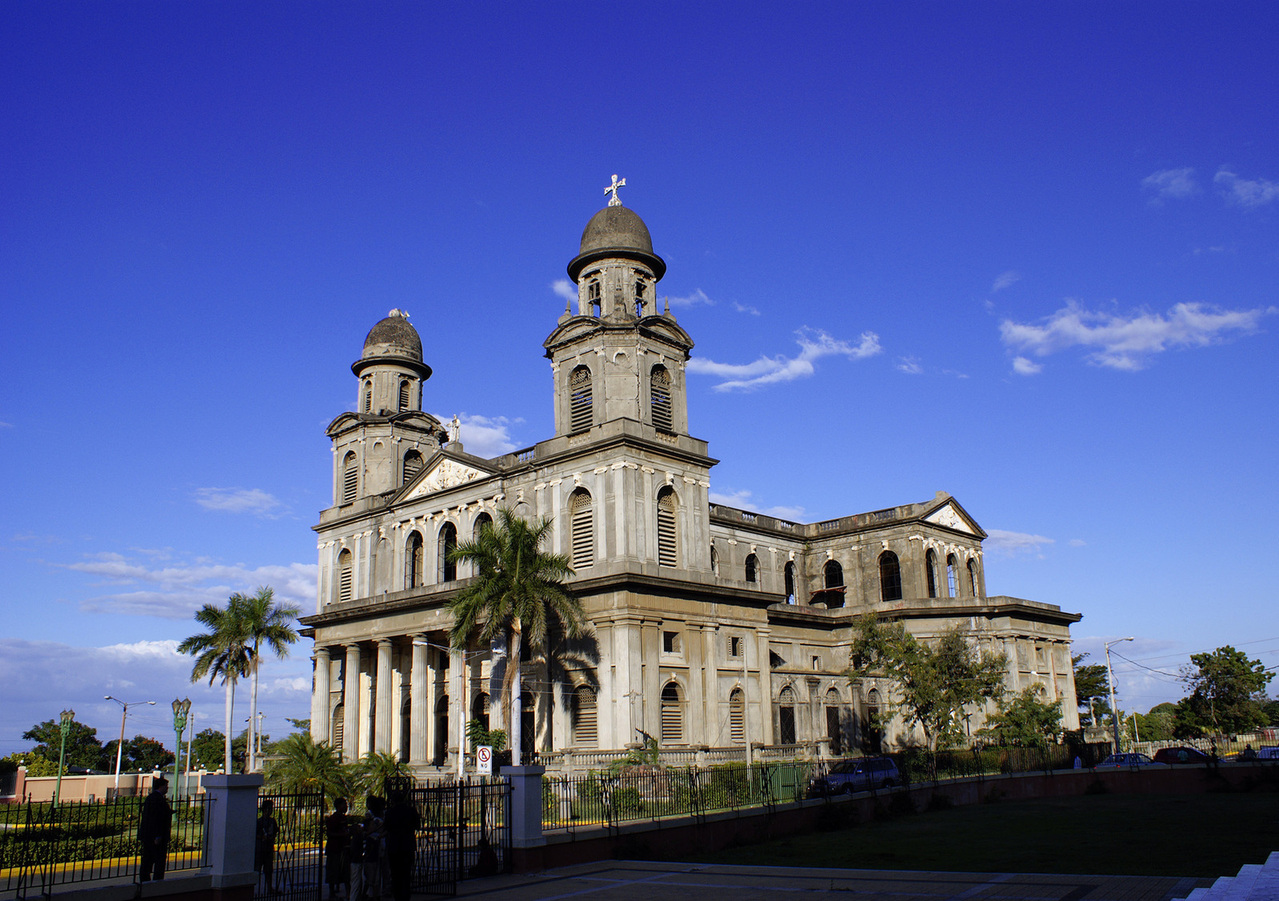
Managua: Capital City Profile
Monetary unit: Gold cordoba
National name: Repblica de Nicaragua
Languages: Spanish (official) 95.3%, Miskito 2.2%, Mestizo of the Caribbean coast 2%, other 0.5%; English and indigenous languages on Atlantic coast (2005)
Ethnicity/race: mestizo 69%, white 17%, black 9%, Amerindian 5%
Religions: Roman Catholic 58.5%, Protestant 23.2% (Evangelical 21.6%, Moravian 1.6%), Jehovah's Witnesses 0.9%, other 1.6%, none 15.7% (2005 est.)
National Holiday: Independence Day, September 15

Background:
Violent opposition to governmental manipulation and corruption spread to all classes by 1978 and resulted in a short-lived civil war that brought the Marxist Sandinista guerrillas to power in 1979. Nicaraguan aid to leftist rebels in El Salvador caused the US to sponsor anti-Sandinista contra guerrillas through much of the 1980s. Free elections in 1990 and again in 1996 saw the Sandinistas defeated. The country has slowly rebuilt its economy during the 1990s, but was hard hit by Hurricane Mitch in 1998.
Country Map
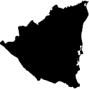
COUNTRY MAP WITH STATES/PROVINCES BOUNDARIES CLICK HERE

Source of Information:


